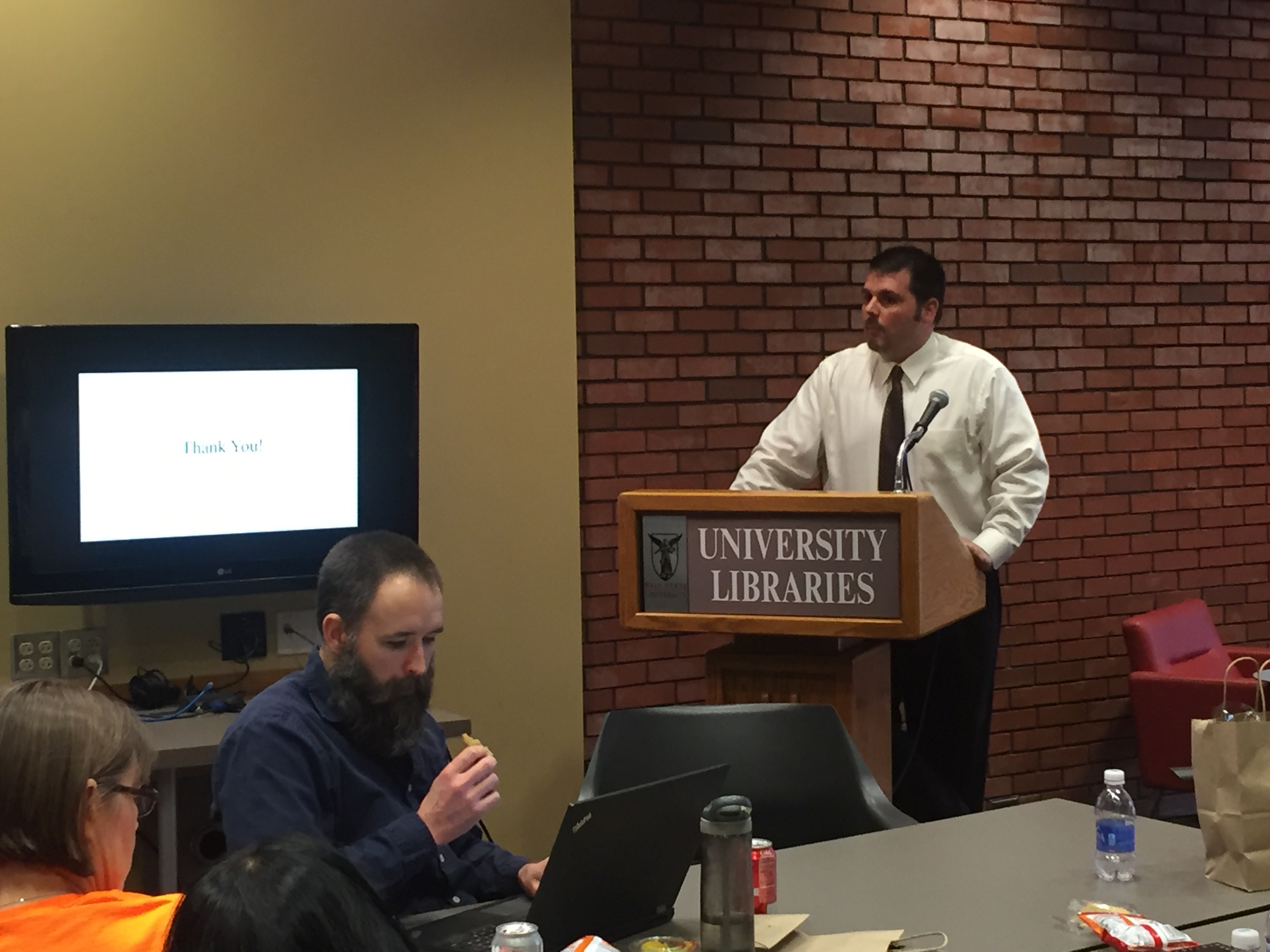
Digital Feed – GIS & Spatial Analysis

The second Digital Scholarship Lab (DSL) Digital Feed, held on Monday, February 27, 2017, focused on GIS and Spatial Analysis. More than just two-dimensional representations of geographic features, digital maps have become a means to explore data and communicate an argument. This session includes brief presentations by Kyle Johnson, Delaware County GIS Coordinator, on mapping with mobile data, Chad Kinsella, Assistant Professor in the Department of Political Science, on presenting large datasets through maps, and Douglas Seefeldt, Assistant Professor in the Department of History and DSL Research Director, on the production of Story Maps. Angie Gibson, GIS Specialist for the University Libraries, concluded with general information on how to design a project and assemble data to produce an interactive map and the institutional support available for maintaining your work.
Click here to see the video of this event
Like our Facebook Page www.facebook.com/bsudsl and follow us on twitter www.twitter.com/bsudsl to get updates on our programing.

